




 India
India

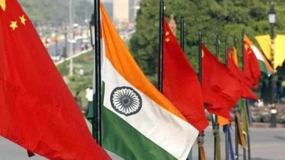
India has officially identified and standardised the names of 27 places and geographical features in Arunachal Pradesh along the Line of Actual Control (LAC), marking a significant move in its ongoing territorial dispute with China. The decision, announced by the Union Home Ministry on Friday, is being viewed as a direct response to Beijing’s repeated efforts to assign Chinese names to locations within the Indian state, which China refers to as “South Tibet.”
According to the Home Ministry, the exercise was carried out in consultation with the Arunachal Pradesh government and the Survey of India (SoI). Officials said the move aims to strengthen India’s sovereign and legal claims over these territories while ensuring greater clarity in official records, maps, and administrative documentation.
The list includes 21 land locations, four mountain passes, one lake, and one memorial site. Among the most notable entries is Longju, a border village that has remained under Chinese control since 1959 but lies within India’s claim line. Officials indicated that formally incorporating such locations into Survey of India maps reinforces India’s longstanding territorial position.
The identified land areas include Longju, Maja, Bisa, Bara Kundun, Chhota Kundun, Dhan Bari, Pritnagar, Buddhamandir, Jairampur, Teritnagar, Ramnagar, Jaswant Garh, Sagar, Padma, Jyotinagar, Baisakhi, Chhota Ropuk, Bara Ropuk, Shivaji Nagar, Sunpura, and Kamlang Nagar. The four passes named are Dzo La, Riza La, Pukur La, and Thag La, while the list also features Sambho Sarovar Lake and the Sher-e-Thapa Memorial.
Government officials said the initiative addresses ambiguities in mapping and geographical records that China has frequently attempted to exploit through its own renaming campaigns. By assigning officially recognised names and incorporating them into national maps, India aims to improve public awareness, administrative accuracy, and governance-related documentation concerning these locations.
Officials noted that recognition on Survey of India maps enhances the administrative significance of a place, making it easier to incorporate into land records, census data, infrastructure planning, and border development projects. The move is also expected to strengthen India’s documentation of geographical features in strategically sensitive border regions.
China has repeatedly issued lists of “standardised names” for locations in Arunachal Pradesh over the past decade. Beijing carried out similar exercises in 2017, 2021, 2023, 2024, and again in April 2026, when it assigned Chinese names to 23 locations, including rivers, mountains, and settlements.

India has consistently rejected these actions. Following China’s latest renaming exercise earlier this year, External Affairs Ministry spokesperson Randhir Jaiswal described Beijing’s move as an attempt to manufacture “baseless narratives” and assign “fictitious names” to Indian territory. He stressed that such actions could not alter the reality that Arunachal Pradesh remains an integral and inalienable part of India.
The latest mapping initiative comes at a time when India and China are attempting to stabilise relations after years of tensions triggered by the military standoff along the LAC that began in 2020. Although both countries have engaged in diplomatic and military talks to reduce friction and advance border dispute negotiations, territorial sensitivities remain a major point of contention.
By formally naming and documenting these 27 locations, New Delhi is signalling that it intends to reinforce its territorial claims not only through diplomacy and border infrastructure but also through official cartographic and administrative measures. The move underscores India’s position that no amount of foreign renaming exercises can alter the status of Arunachal Pradesh as part of the Republic of India.




 English
 Gujarati
 Hindi
Hindi Kannada
 Malayalam
 Marathi
 Punjabi
 Tamil
Tamil Telugu