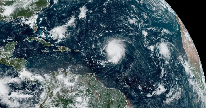
After an extended period of churning over the Atlantic Ocean for more than a week, Hurricane Lee is closing in on the coastal regions of New England and Atlantic Canada. The storm is forecasted to make landfall in these areas as a tropical storm, bringing with it the potential for significant rainfall, powerful winds, and a heightened risk of a dangerous storm surge.
Hurricane Lee, which has been closely monitored by meteorological authorities, is transitioning into a tropical storm as it approaches the northeastern regions of North America. While it may no longer retain hurricane status, the storm still poses a considerable threat to affected areas.
One of the primary concerns associated with the approaching tropical storm is the likelihood of heavy rains. Residents in New England and Atlantic Canada are advised to prepare for substantial rainfall that may lead to localized flooding and potential flash flood situations. The storm’s interaction with coastal areas may intensify these conditions.
In addition to heavy rains, the tropical storm is expected to bring strong winds to the region. Coastal communities and residents are urged to take precautions to secure outdoor items and ensure the safety of structures as gusty winds can lead to power outages and damage.
Perhaps one of the most significant concerns is the potential for a dangerous storm surge along the coast. The combination of high winds and tidal conditions may result in an elevated sea level, increasing the risk of coastal flooding in vulnerable areas.
Local authorities and emergency management agencies are actively monitoring the situation and have issued warnings and advisories to residents in the storm’s path. Residents in the affected regions are urged to stay informed about the latest updates and to follow safety guidelines provided by their local authorities.
As Hurricane Lee approaches New England and Atlantic Canada, the response and preparedness of communities will play a crucial role in mitigating the potential impact of this tropical storm.


 India
India


